
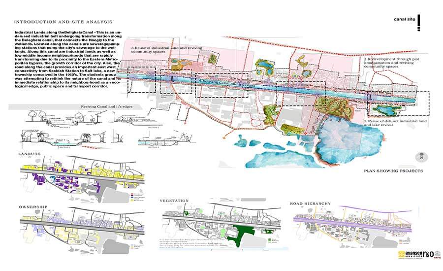
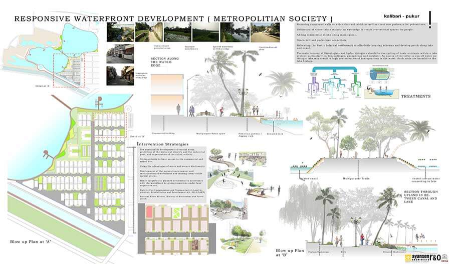
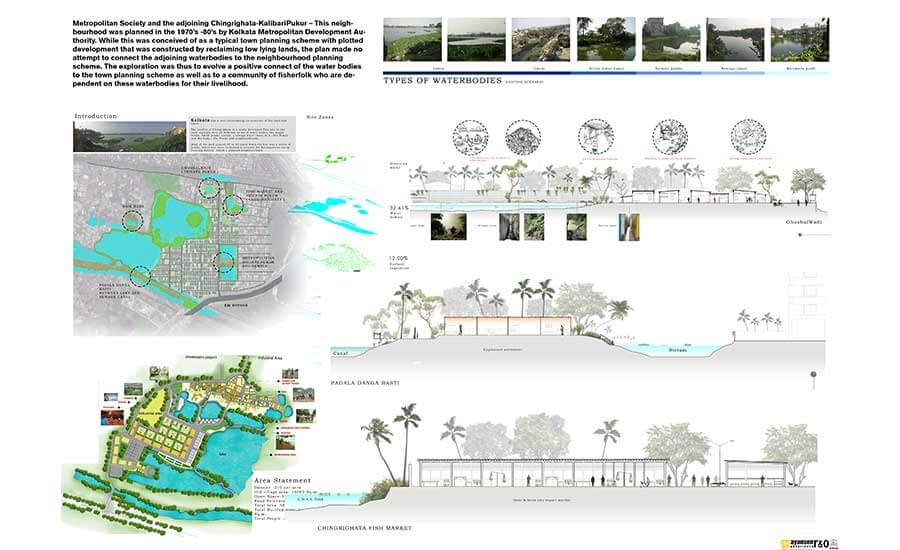
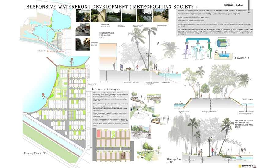
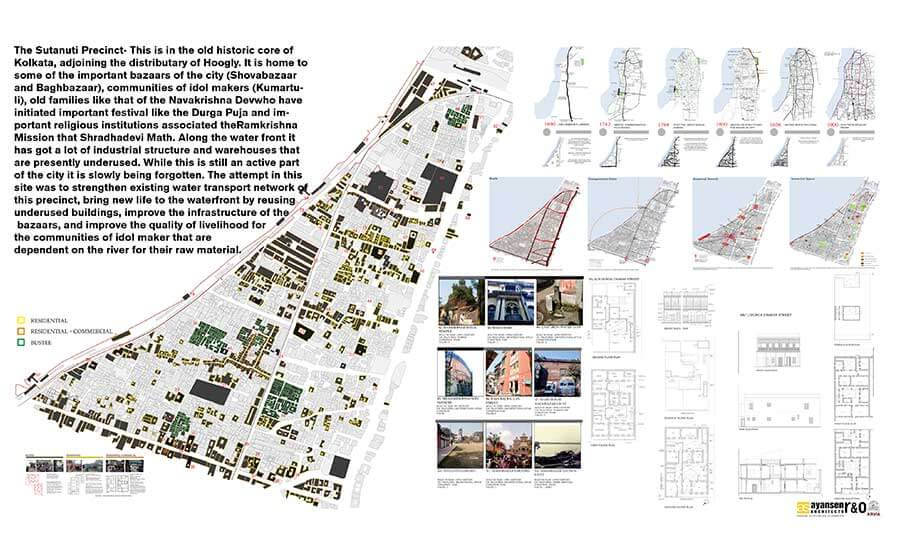
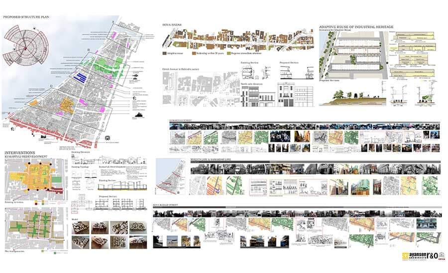
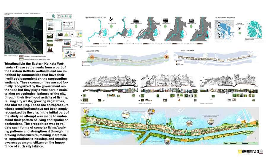
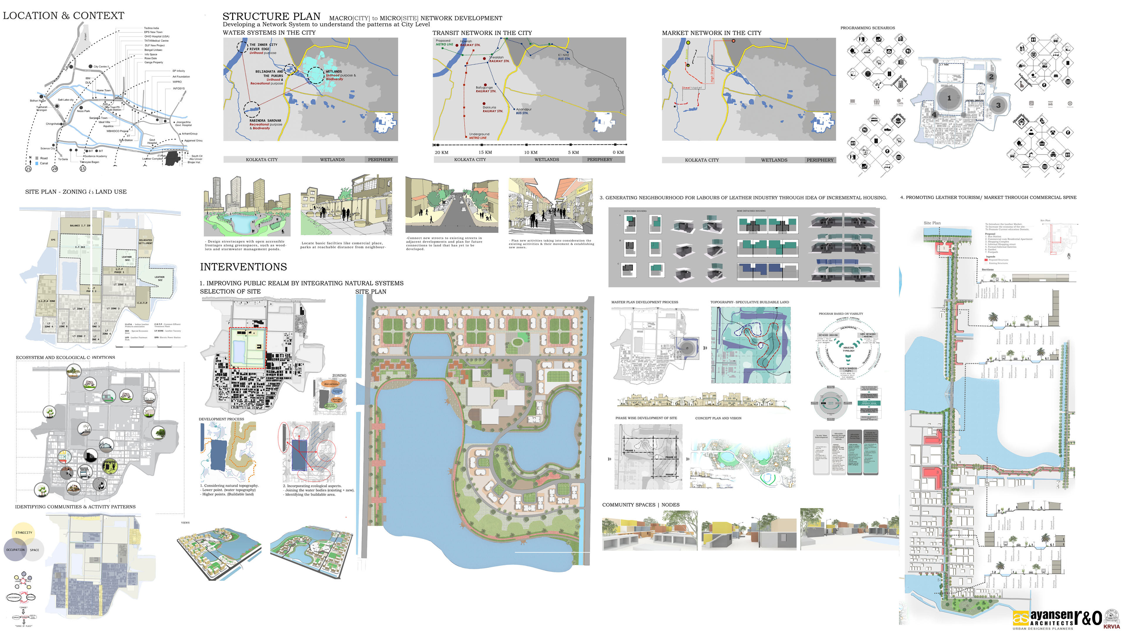
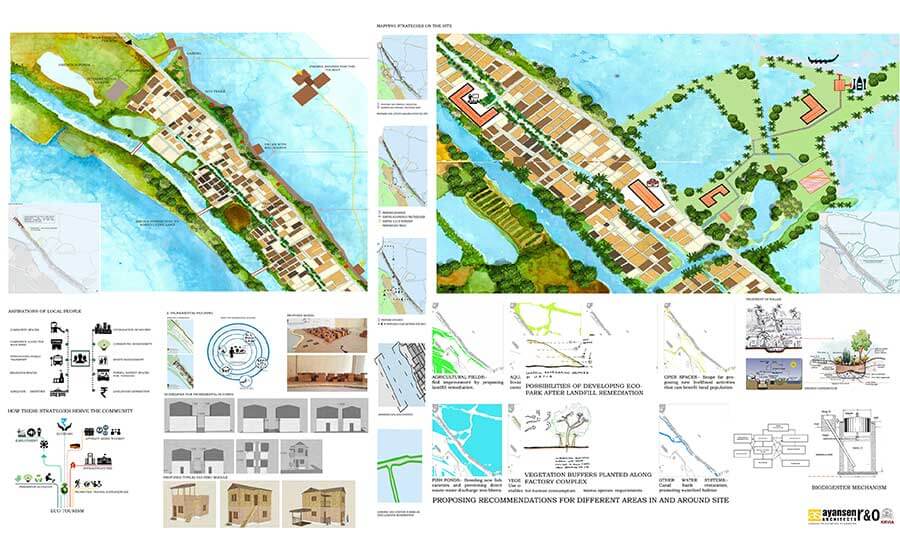
The studio intended to explore the four key areas, namely: Urbanization and Wetland Systems, History and Evolution Pattern, Environmental Systems and Occupational necessities & Housing Typologies and Transformation. The various conditions were explored to encompass the intended study areas: The Historic Core, The Canal Settlements, The Pukurs (Water Bodies), The Wetlands and Periphery.
The studio documented the existing conditions based on topography, community, land and governance through the lens of history, water systems & watershede, migration and occupational demand, ownership and informality. The studio further developed the GIS method for documentation and transect method for representation the complex reality and existing networks.
